User login
Language
Anonymous's groups in this site
User is not a member of any group.
Your groups across all your sites
User is not a member of any group.
Recent Content
Who's online
There are currently 0 users online.
You are here
Crowdsourcing a Crisis Map of UAV/Aerial Videos for Disaster Response
Primary tabs
Sun, 2014-06-22 13:52 — Maeryn Obley
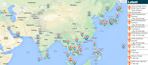
Image: The UAV Map, which will go live shortly, is inspired by Travel by Drone Map displayed above.
irevolution.net - June 18th, 2014 - Patrick Meier
Journalists and citizen journalists are already using small UAVs during disasters. And some are also posting their aerial videos online: Typhoon Haiyan (Yolanda), Moore Tornado, Arkansas Tornado and recent floods in Florida, for example. Like social media, this new medium—user-generated (aerial) content—can be used by humanitarian organizations to augment their damage assessments and situational awareness.
Country / Region Tags:
General Topic Tags:
Problem, Solution, SitRep, or ?:
Groups this Group Post belongs to:


Recent Comments